Show the setting.
Give buyers a clear sense of the property, lot, surroundings, and neighborhood.

Built to sell homes and strengthen your brand. Professional media for agents who care about consistency, presentation, and first impressions.
Book a Residential Shoot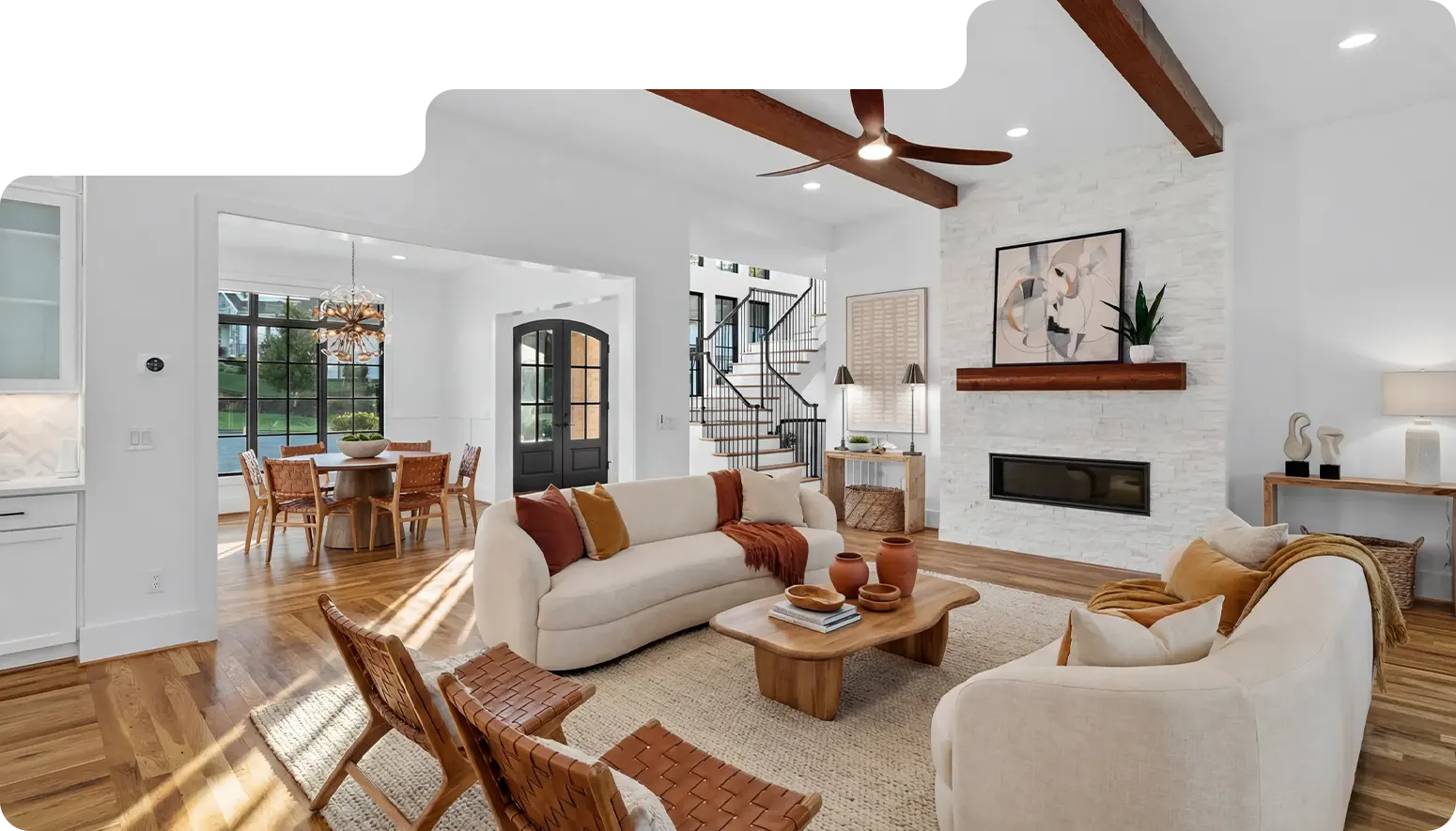
 Book a Residential Shoot
.svg)
high-quality listing media designed to help homes stand out online while reinforcing your reputation as a professional agent.

Brand first
Every shoot supports your reputation, not just a single listing.
.svg)
Consistency over trends
Clean, intentional visuals that age well and build credibility.
.svg)
Systems matter
Reliable processes. Clear communication. Fewer headaches.

Long-Term
Partnerships
Built for agents thinking beyond one-off jobs.

Exact deliverables vary by project and package.
expertise
.png)
.png)
.svg)
Stunning listing media and strategic brand content that turn real estate professionals into trusted local authorities.


.svg)
Why drone
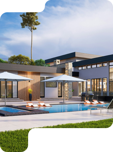
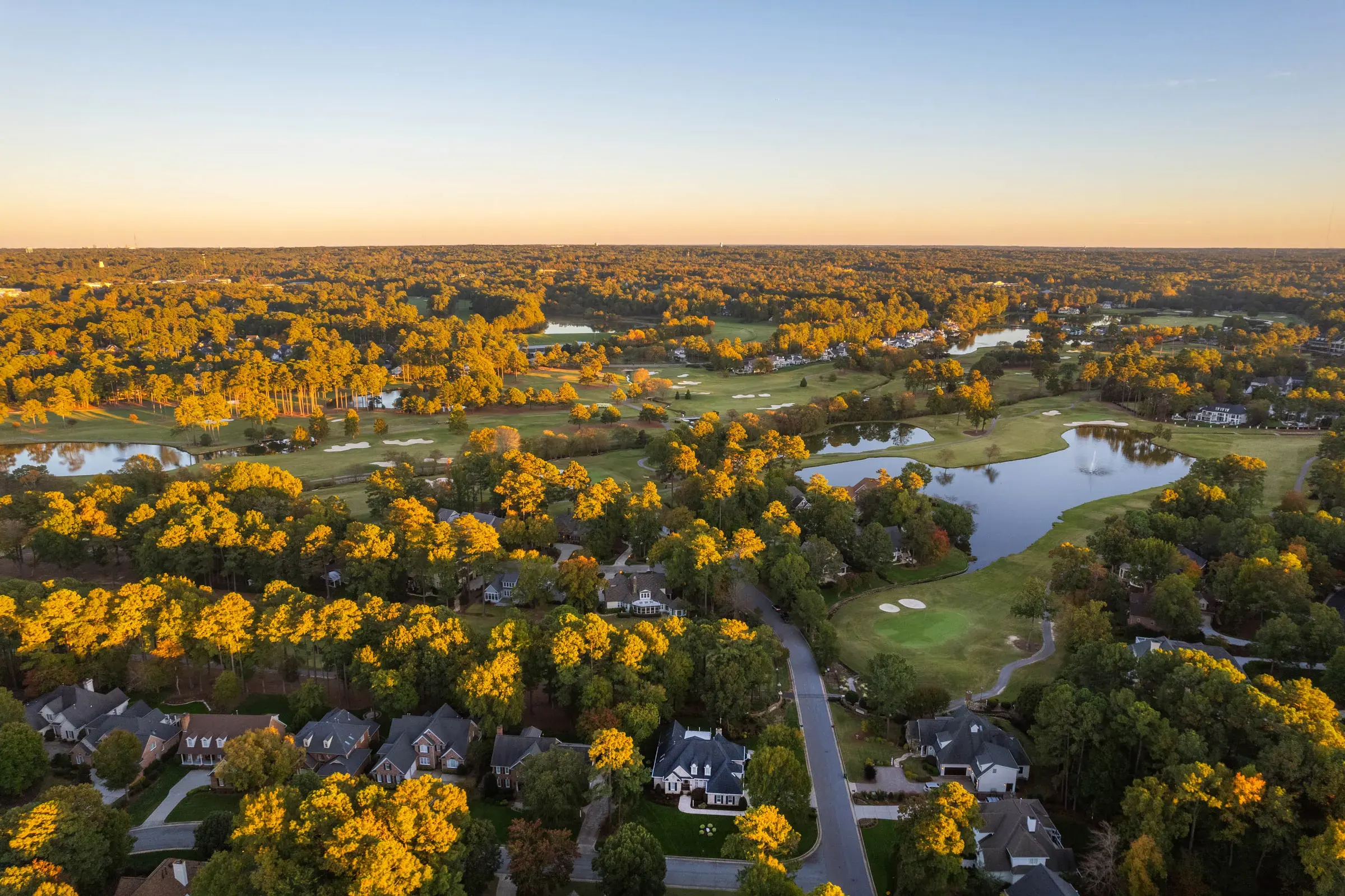
Drone media gives buyers context that traditional photography cannot—how the home sits on the lot, what surrounds it, and how the property relates to the larger area.
Give buyers a clear sense of the property, lot, surroundings, and neighborhood.
Aerial perspectives make acreage, large homes, developments, and outdoor features easier to understand.
Show relationships, features, access, surroundings, and context that traditional photography can’t explain as clearly.
Aerial showcase
Photography + video
Flown by FAA Part 107 certified pilots, weather and airspace permitting.
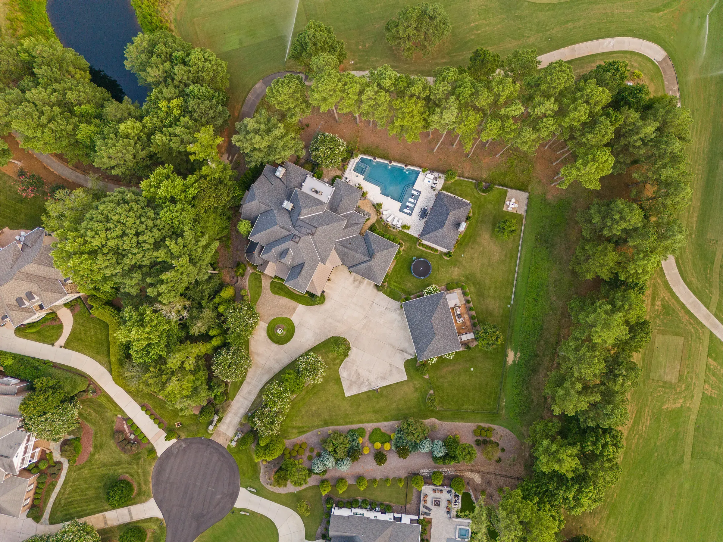
01 / Still
High-resolution aerial imagery that adds context, scale, and perspective to the listing.
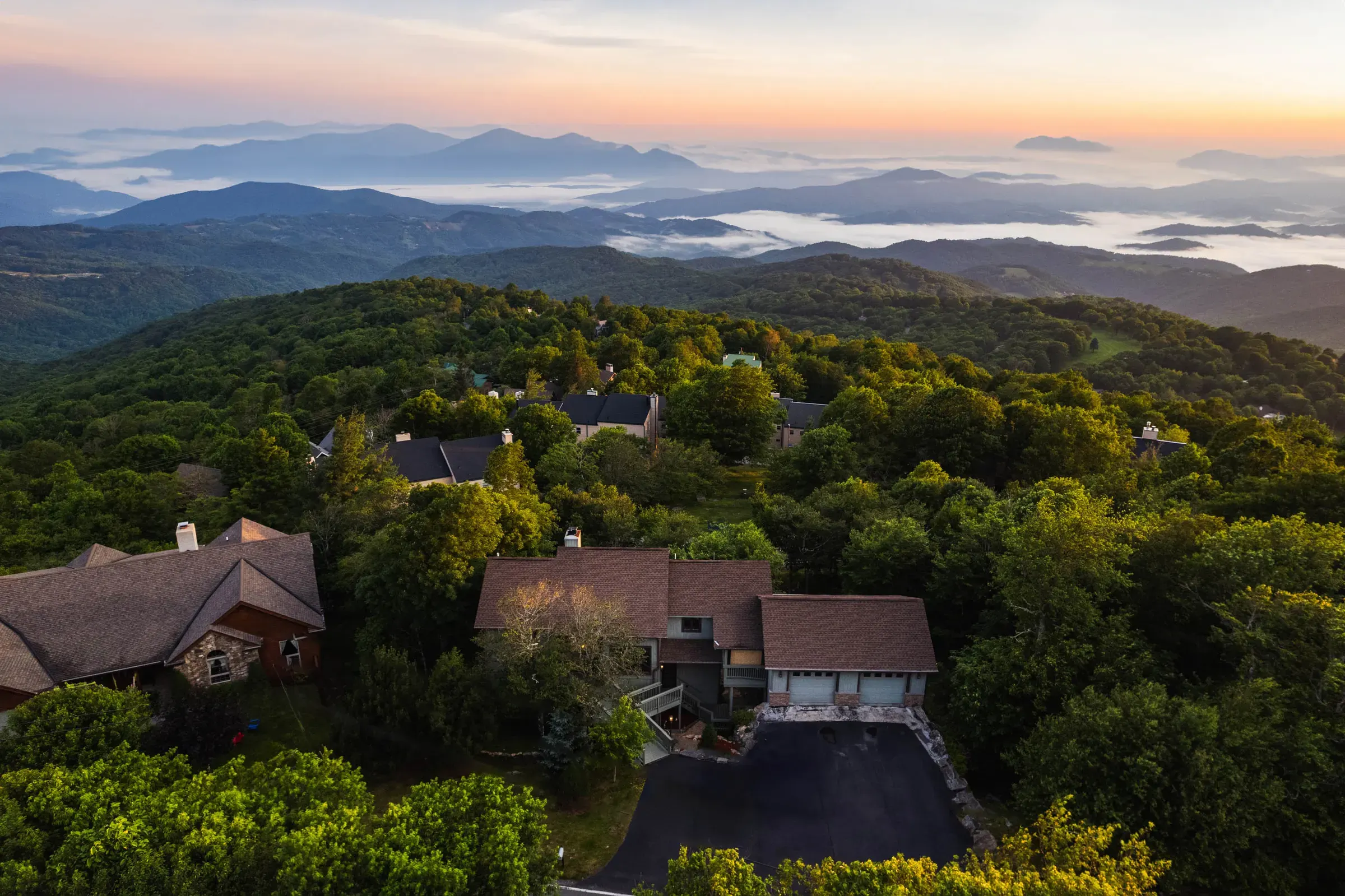
02 / Motion
Smooth aerial footage that reveals the property’s setting, scale, and relationship to the surrounding area.
The bigger picture
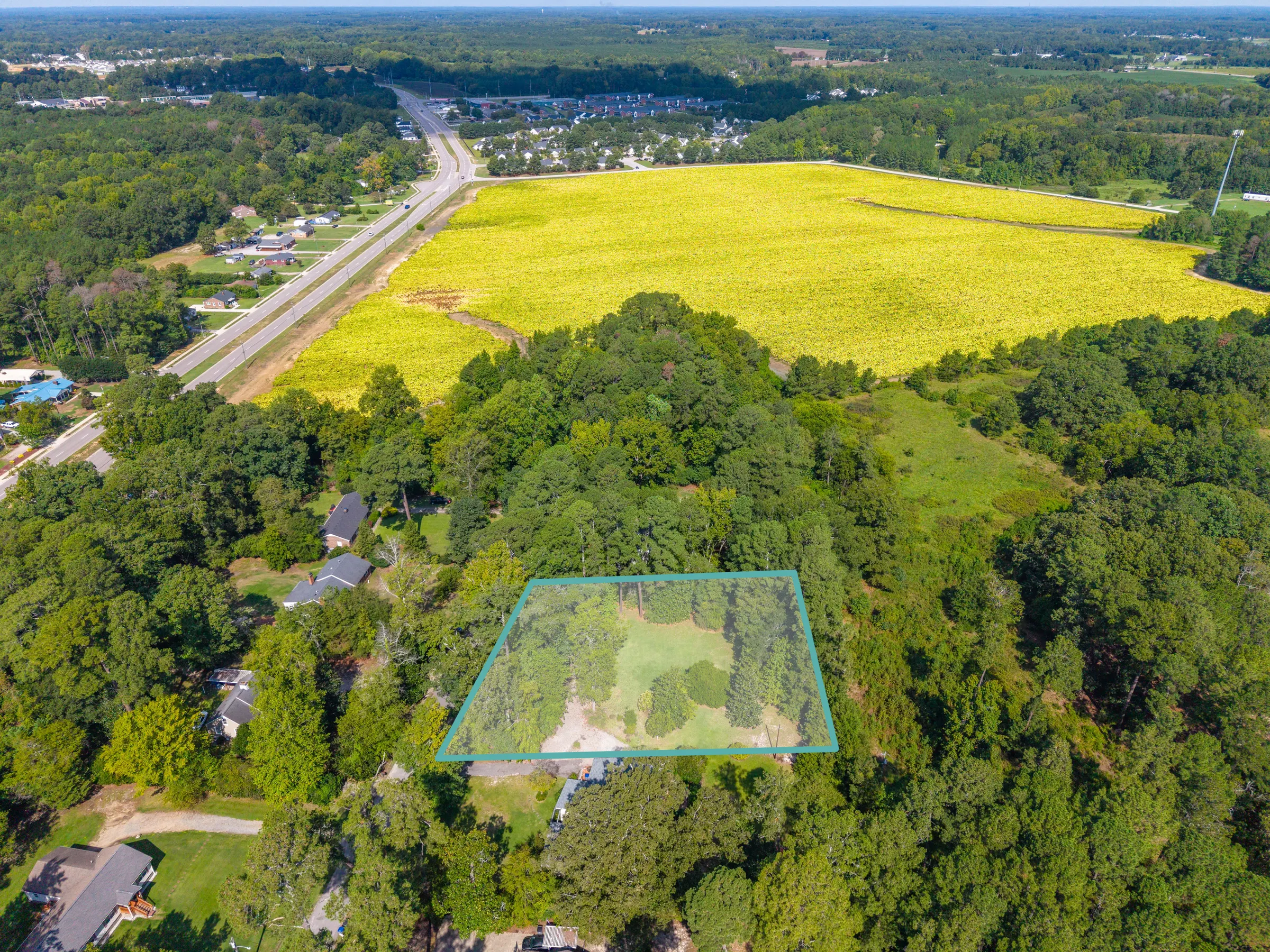
Property boundaries, roads, access points, and nearby landmarks can be added when they help explain the property.
Visual-reference overlays are marketing tools—not surveys or verification of legal property boundaries.
FAQ
Yes. Our drone operations are performed by FAA Part 107 certified pilots. Flights are also subject to airspace restrictions, weather, property conditions, and safe operating requirements.
Not always. Airspace restrictions, weather, nearby airports, property location, obstacles, or other safety considerations can affect whether aerial media is possible. We review those factors before the shoot.
We monitor conditions leading up to the appointment. High winds, rain, low visibility, or other unsafe conditions may require us to adjust or reschedule the aerial portion of the shoot.
Yes. When appropriate, we can add visual-reference overlays such as approximate lot-line references, nearby roads, access points, points of interest, or development context. These are marketing graphics, not surveys or legal boundary verification.
Drone is especially useful for acreage, large lots, waterfront properties, luxury homes, new construction, communities and developments, golf-course properties, unique surroundings, strong views, or any listing where location and context are part of the story.
Yes. Drone media is commonly captured during the same property visit as interior and exterior photography, provided weather, airspace, and conditions allow.
Drone photography follows our standard photography turnaround, typically within 36 hours. Drone video follows the turnaround of the video service it is included with.